
You will use Envisat ASAR Image Mode Level 0: two acquisitions over the Baja area, on before and one after the 2010 Baja California earthquake.
An Advanced Synthetic Aperture Radar (ASAR), operating at C-band, ASAR ensured continuity with the image mode (SAR) and the wave mode of the ERS-1/2 AMI. It featured enhanced capability in terms of coverage, range of incidence angles, polarisation, and modes of operation. This enhanced capability was provided by significant differences in the instrument design: a full active array antenna equipped with distributed transmit/receive modules which provided distinct transmit and receive beams, a digital waveform generation for pulse “chirp” generation, a block adaptive quantisation scheme, and a ScanSAR mode of operation by beam scanning in elevation.
See Data preparation section for details on the Envisat ASAR data used in this guide.
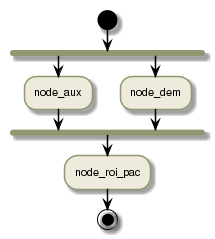
You will use the Repeat Orbit Interferometry PACkage (ROI_PAC) [1], software for processing synthetic aperture radar data to produce differential interferograms. Licenses available at no charge for non-commercial use.
The workflow contains three processing steps to:
| [1] | ROI_PAC Website |
| [2] | Shuttle Radar Topography Mission (SRTM) |