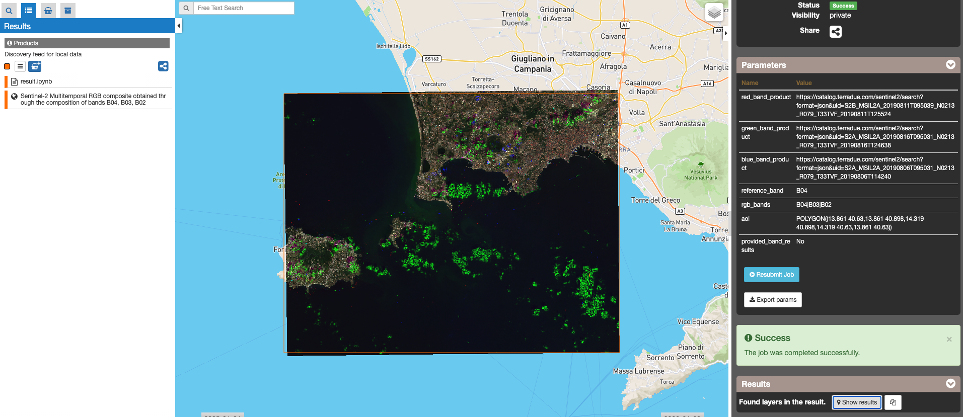
Sentinel-2 Multitemporal RGB composite with Gefolki coregistration
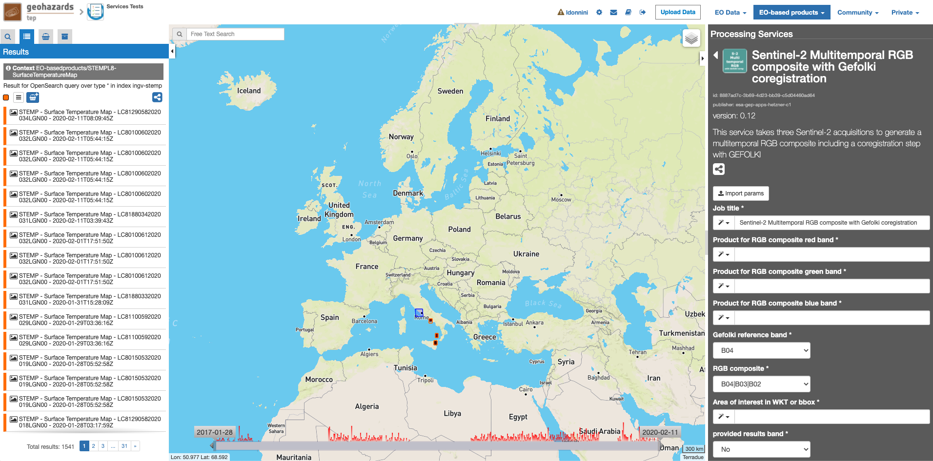
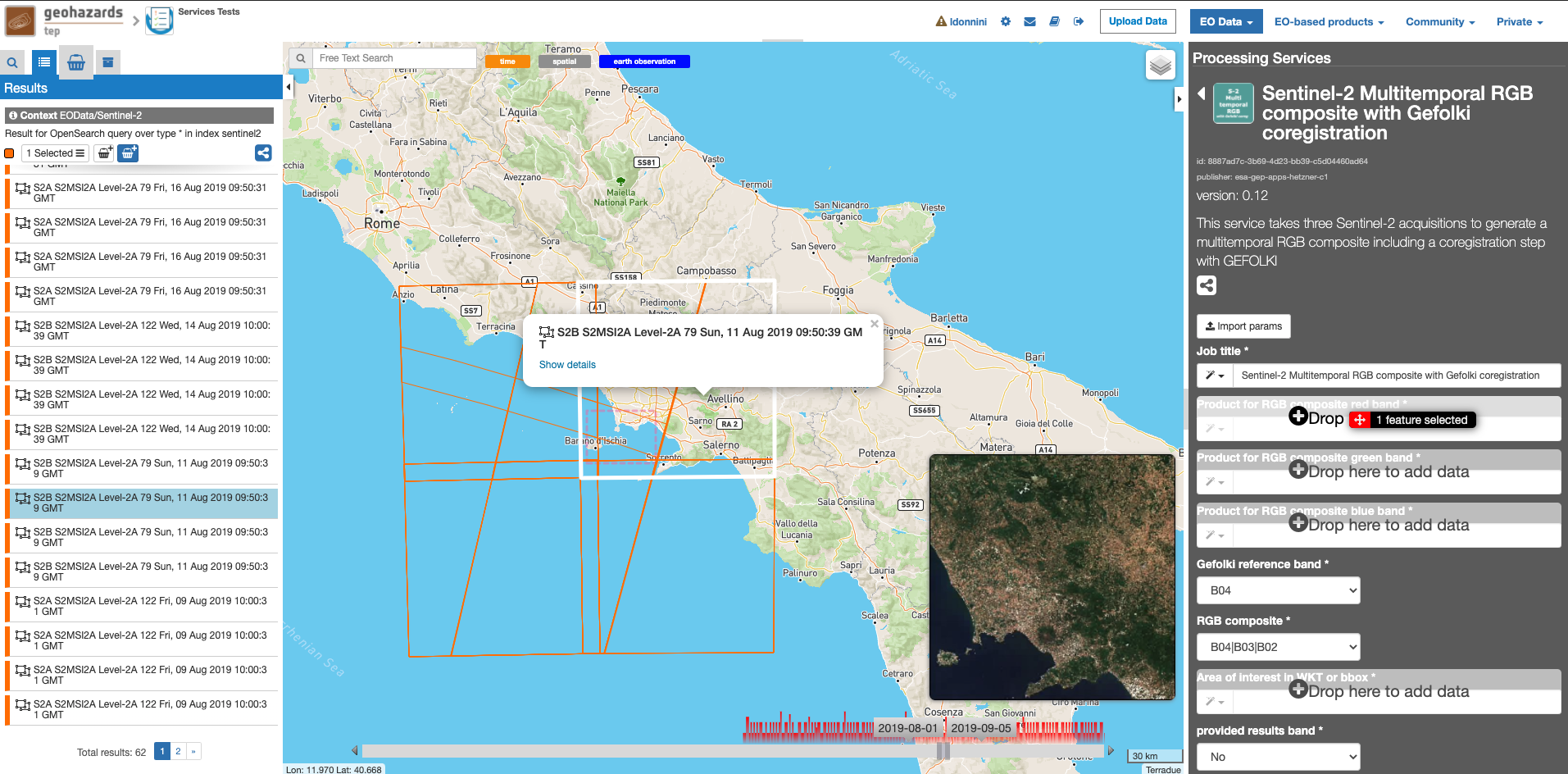
This service takes three Sentinel-2 MSI Level 1C or Level 2A acquisitions to generate a multitemporal RGB composite including a coregistration step with GEFOLKI. The three input products must have the same Level. The output of the service is a EO data product in GeoTIFF format. The product is a multitemporal RGB composite obtained through the composition of bands B04, B03, B02 (Natural colours) or bands B08, B04, B03 (false colour Infrared). The service takes the red band of one of the products as a basis (reference input product for the red channel of the service). Then it does coregistration with GeFolki of the other products for the green and blue bands of the RGB composite. The output GeoTiff is displayed in the geobrowser with the possibility to access product metadata and downaload it.
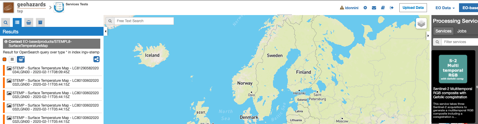
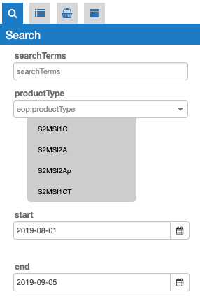
This tutorial will describe the processing of three Sentinel-2 acquisitions to generate a multitemporal RGB composite including a coregistration step with GEFOLKI.
Output specifications
The service provides the following output products.
| Output-1 – Sentinel-2 Multitemporal RGB composite (B0X|B0Y|B0Z) | |
|---|---|
| Correspondent file | Sentinel-2 Multitemporal RGB composite |
| Information types | RGB Composite : RED=(Red band product B0X), GREEN=(green band product B0Y), BLUE=(Blu band product B0Z) |
| Raster format | GeoTIFF |
| resolution | Native |
| Projection types | EPSG:3857 - WGS84 – Pseudo Mercator |
| Processing Level | RGB composite |
| Output Filename example | Sentinel-2 Multitemporal RGB composite obtained through the composition of bands B0X, B0Y, B0Z |
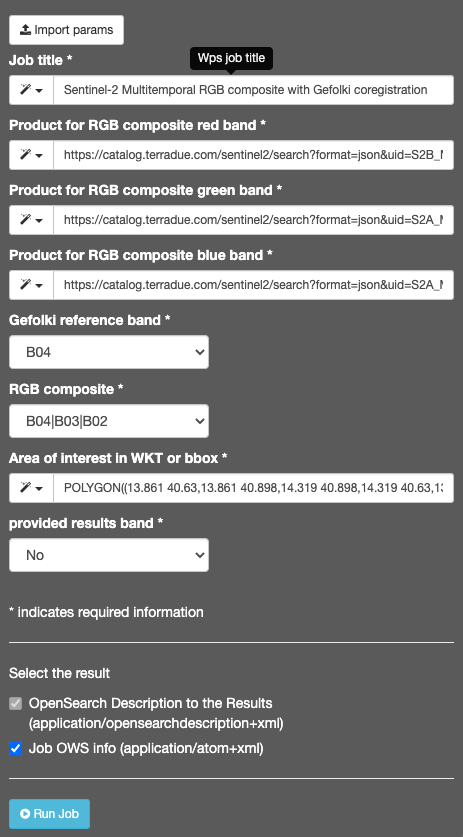
If the parameter service provided band results has been set to Yes, then:
| Output-2 – Input Product selected bands | |
|---|---|
| Correspondent file | Input Product selected bands |
| Raster format | GeoTIFF |
| resolution | Native |
| Projection types | EPSG:3857 - WGS84 – Pseudo Mercator |
| Output Filename example | Input Product selected bands.tif |
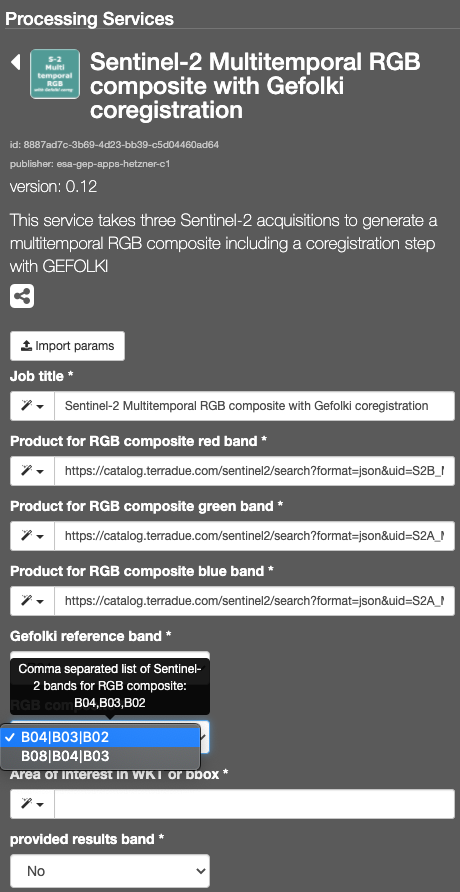
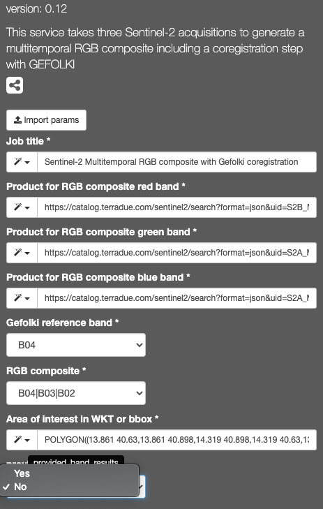
This will display the “Sentinel-2 Multitemporal RGB composite with Gefolki coregistration” service panel including several pre-defined parameters values to be filled-in.
Note
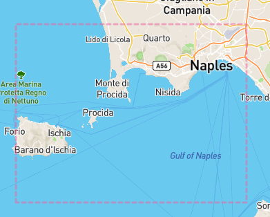
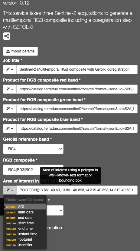
you can also specify manually a different AOI in WKT format, or draw a new area on the map using the search tool and get its value from the Magic tool wizard.
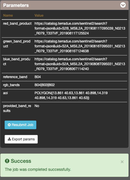
The following output files are produced:
- Sentinel-2 Multitemporal RGB composite obtained through the composition of bands B0X, B0Y, B0Z - product GeoTIFF RGB
- Input Product selected bands - product GeoTIFF - for each input product
